
Drone Intelligence as a Service for Crop, Irrigation, and Pest Monitoring
MiittiAI turns aerial imagery into practical field intelligence for crop stress, irrigation issues, pest hotspots, stand gaps, and recurring enterprise reporting.
Two drone intelligence service models
Choose a one-time aerial survey or a recurring monitoring program for continuous crop visibility and operational control.
One-Time Drone Survey
Best for quick field diagnostics, scouting, and issue detection on a specific date or crop event.
- Ideal for new farms, pilot areas, and urgent scouting
- Useful for plot inspection, pest hotspots, and water stress detection
- Creates a clear action list for the next field visit
Recurring Drone Intelligence Program
A continuous monitoring model for enterprises, plantations, FPOs, and climate programs that need trend visibility across the season.
- Recurring flights for crop health and irrigation monitoring
- Trend tracking across growth stages and field blocks
- Reporting for management, agronomy, and compliance teams
What drone intelligence detects
MiittiAI uses aerial analysis to surface the issues that are hardest to see from ground inspections alone.
Crop Stress
Identify stress patterns early so agronomy teams can act before yield loss becomes visible at scale.
Irrigation Issues
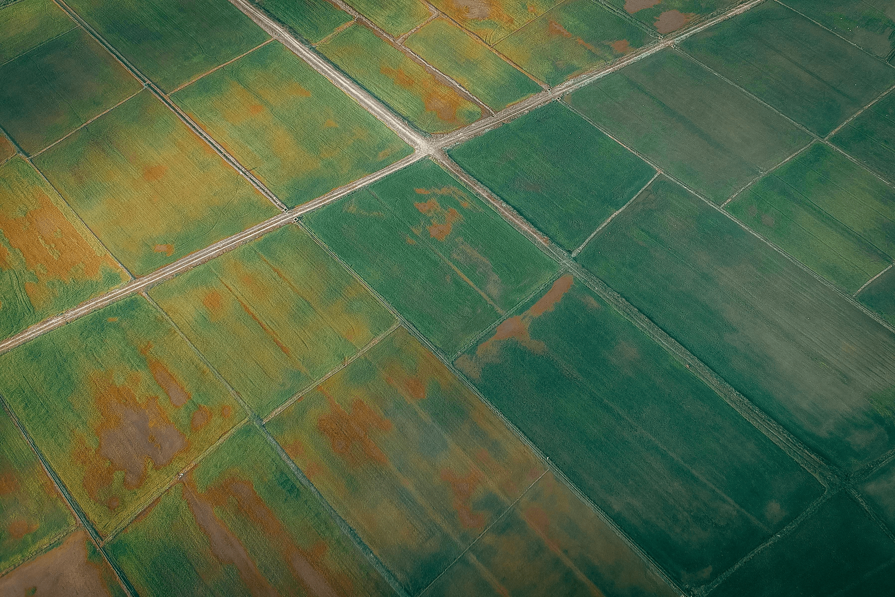
Spot non-uniform watering, dry patches, water logging, and irrigation gaps with aerial intelligence.
Pest Hotspots
Detect irregular patches that may indicate pest pressure, disease spread, or localized damage.
Stand Count Gaps
See missing crop zones, uneven emergence, or thin stands after sowing or transplanting.
Nutrient Stress
Highlight areas that may require nutrient correction, foliar intervention, or closer scouting.
Flood / Water Logging
Track low-lying areas and drainage issues that can affect crop health and field operations.
Boundary & Plot Visibility
Improve plot mapping, field boundaries, and management visibility across large operational areas.
Compliance Reporting
Create structured visual reports for enterprise teams, partners, and program stakeholders.
Irrigation and pest monitoring from the sky
The same aerial program can support irrigation optimization and pest response planning across blocks and seasons.
Irrigation insights
- Detect dry patches and uneven watering across plots
- Spot water logging and drainage problems early
- Support irrigation timing and corrective action planning
- Improve field-level response before crop stress spreads
Pest and disease signals
- Highlight hotspots that may indicate pest pressure
- Support disease scouting and localized inspection
- Reduce time spent searching large areas manually
- Improve response timing for agronomy teams
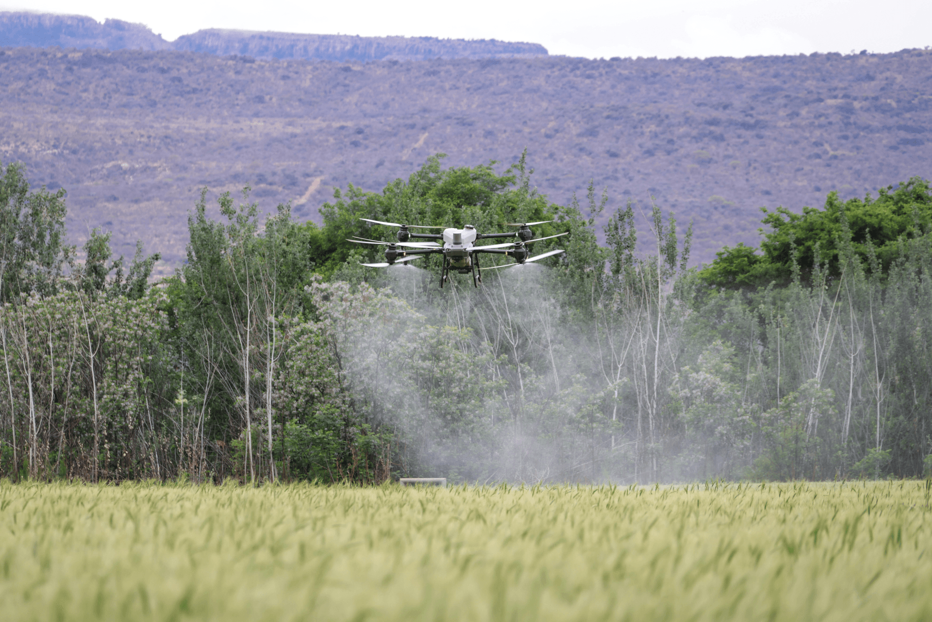
Drone intelligence workflow
A repeatable process that turns imagery into action, follow-up, and management visibility.
1. Flight Planning
Define the objective, fields, flight path, and the exact issue the team wants to observe.
2. Drone Capture
Collect imagery for plots, blocks, and priority zones with repeatable coverage standards.
3. AI Interpretation
Convert imagery into stress maps, issue signals, and field-level intelligence.
4. Advisory Output
Generate action items for irrigation, pest management, scouting, and crop operations.
5. Follow-Up Monitoring
Track whether the intervention worked and whether the risk signal has improved over time.
Visible improvement over repeated flights
Track the issue load over time and compare the value of one-time scouting versus recurring monitoring.
Stress Coverage Over Time
Recurring program trendIssue Categories
By detection typeSurvey Value Comparison
One-time vs recurringTwo proof-driven case studies
Use these as structured examples, or replace them later with your own customer outcomes and metrics.
Case Study 1: Early pest and irrigation correction
A large vegetable farm had uneven crop performance, delayed pest discovery, and irrigation issues that were hard to identify from ground visits alone.
Baseline
- • Stress symptoms were visible only after damage spread
- • Irrigation issues were inconsistent across blocks
- • Scouting cycles were slow and labor intensive
Intervention
- • Drone monitoring created field-level stress maps
- • Irrigation gaps and pest hotspots were flagged early
- • Teams received a clear action list after every flight
Result
- • Faster response to field issues
- • Improved scouting efficiency
- • Better control of crop loss risk during the season
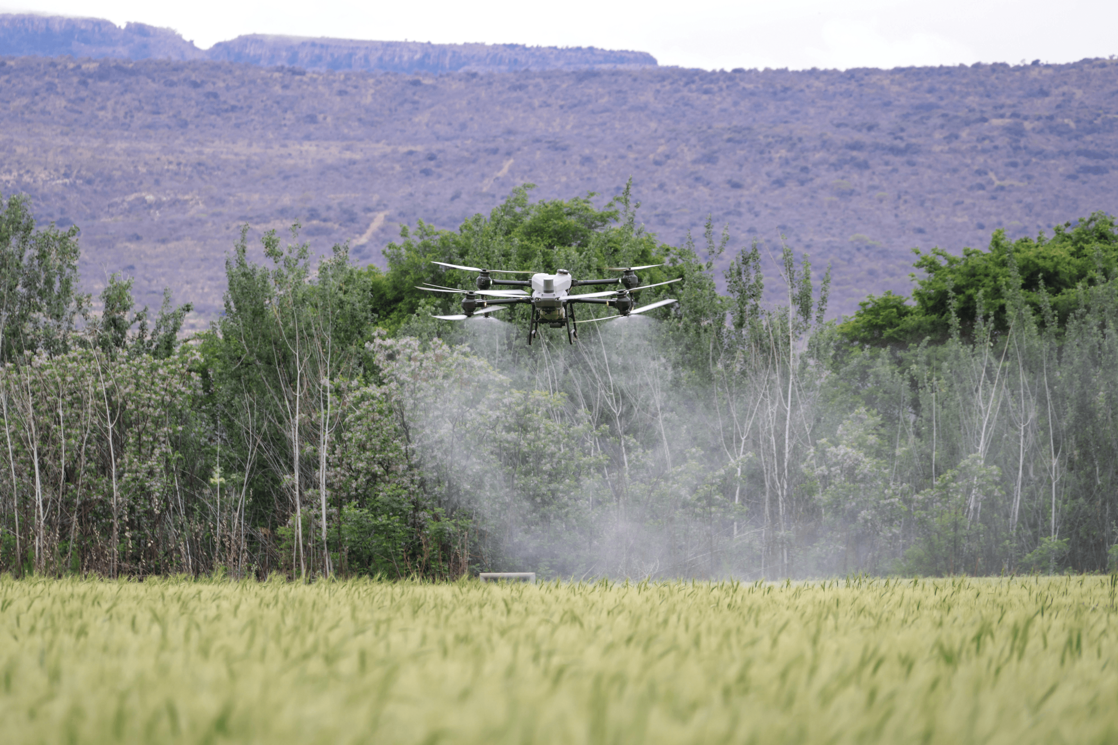
Case Study 2: Recurring monitoring for a plantation program
An enterprise plantation wanted recurring drone visibility for crop health, irrigation planning, and management reporting across large blocks.
Baseline
- • Limited plot-level visibility across large acreage
- • Manual inspection did not scale well
- • Management lacked trend data across flights
Intervention
- • Recurring drone flights were scheduled through the season
- • Stress maps and issue reports were shared with agronomy teams
- • Management dashboards tracked recurring hotspots and improvement
Result
- • Consistent visibility over time
- • Clearer operational prioritization
- • Stronger program reporting and oversight
Built for manufacturer and ecosystem partners
MiittiAI invites drone manufacturers, payload suppliers, sensor partners, and service operators to join the agriculture intelligence stack.
Drone Manufacturers
Join MiittiAI to power agriculture-focused aerial intelligence deployments at scale.
Sensor & Payload Partners
Integrate sensors, payloads, and imaging systems into a field-ready agriculture stack.
Service Operators
Offer drone services through MiittiAI workflows for farms, enterprises, and programs.
Enterprise Farms
Use recurring drone intelligence for irrigation, crop health, and compliance reporting.
Frequently asked questions
A quick overview of how drone intelligence works in modern agriculture programs.
Can MiittiAI use drones for irrigation and pest monitoring?
Yes. MiittiAI uses drone intelligence to identify irrigation issues, water logging, crop stress, and pest hotspot patterns across fields.
Is the service only for one-time surveys?
No. MiittiAI supports both one-time surveys and recurring monitoring programs for continuous visibility across the season.
Are drone manufacturers invited to partner with MiittiAI?
Yes. MiittiAI invites drone manufacturers, sensor partners, payload providers, and service operators to join the ecosystem.
Build a recurring aerial intelligence program
Move from manual scouting to continuous drone intelligence for irrigation, pest pressure, crop stress, and enterprise visibility.